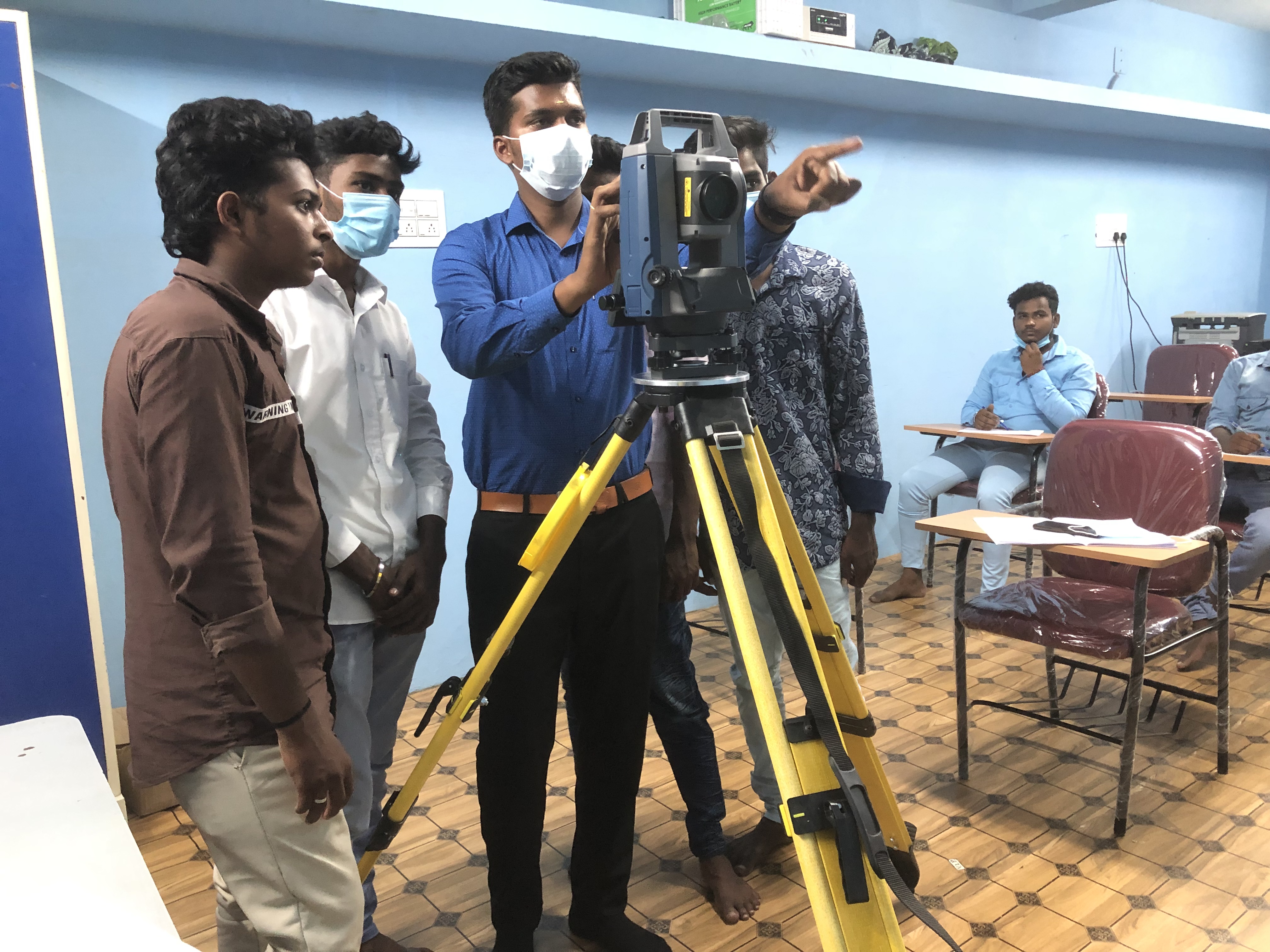
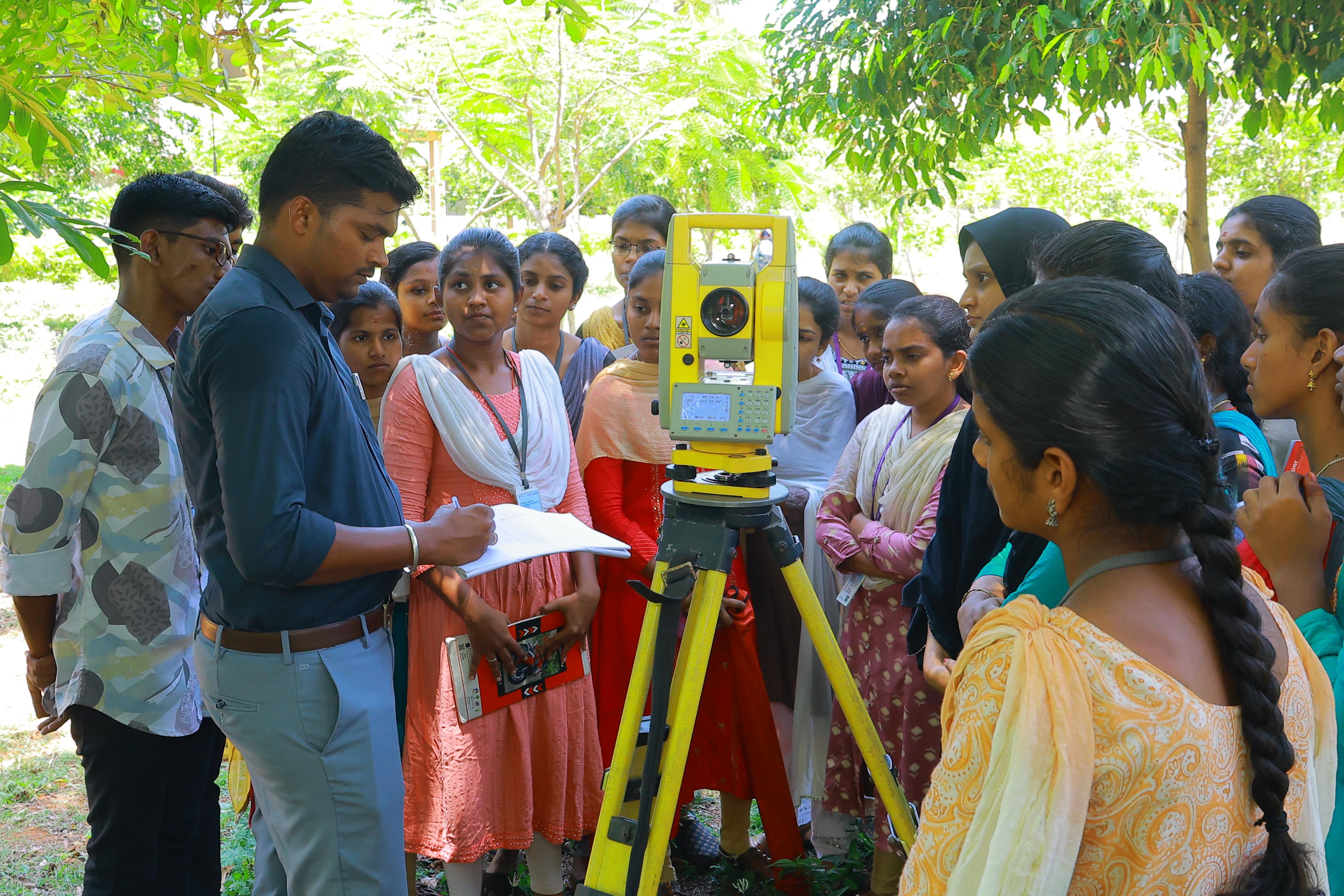
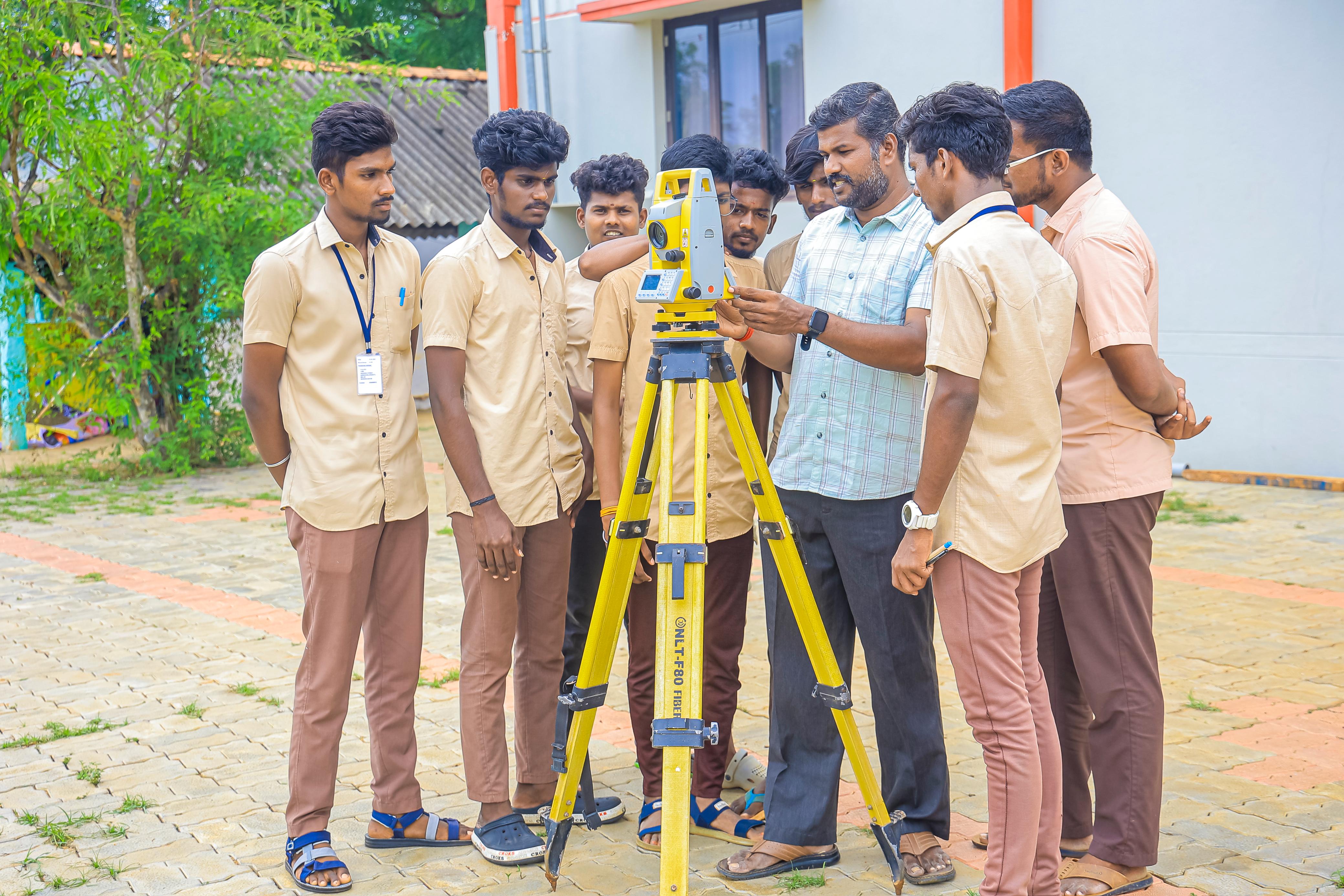
Hands-on Field Training
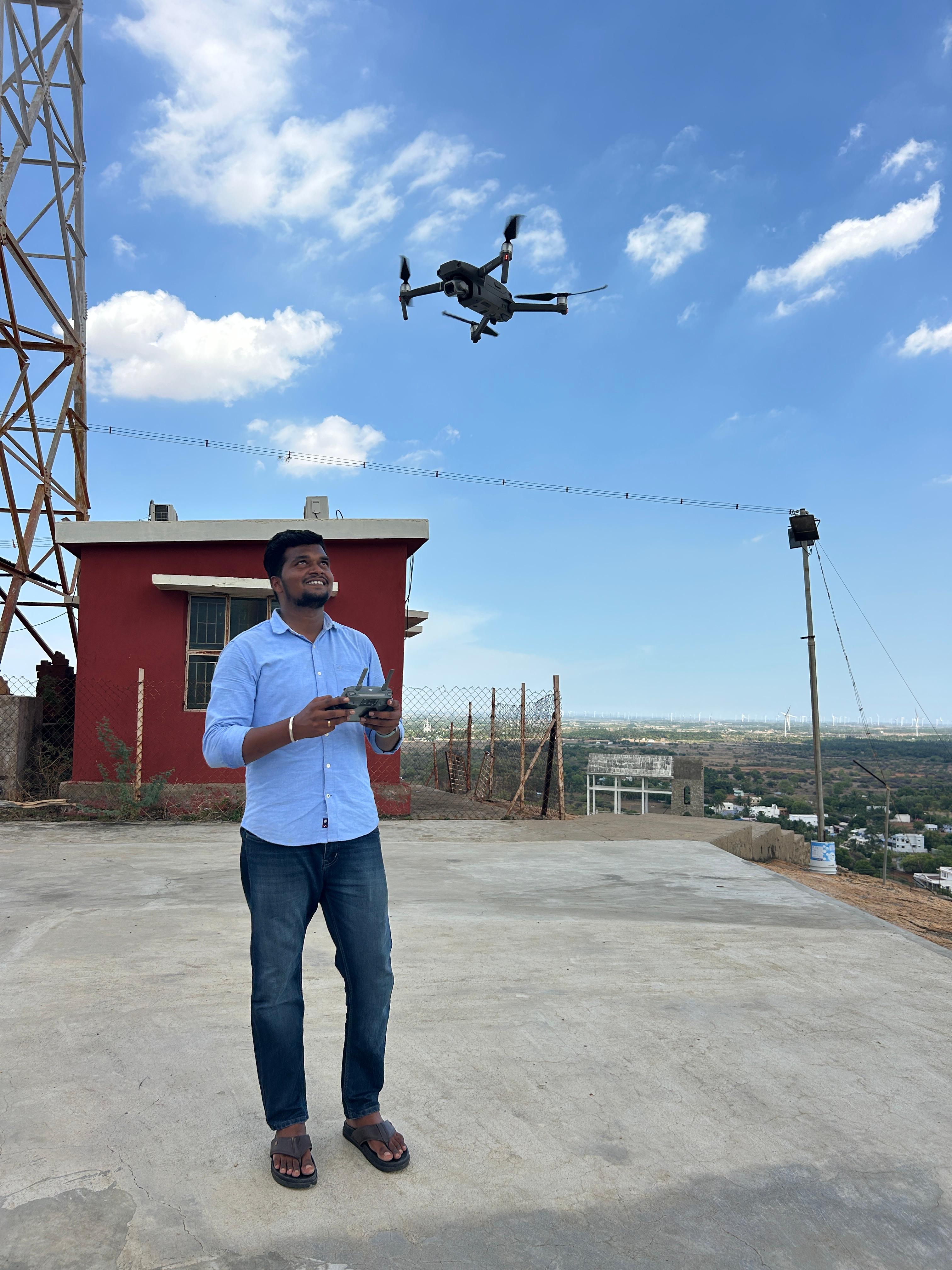
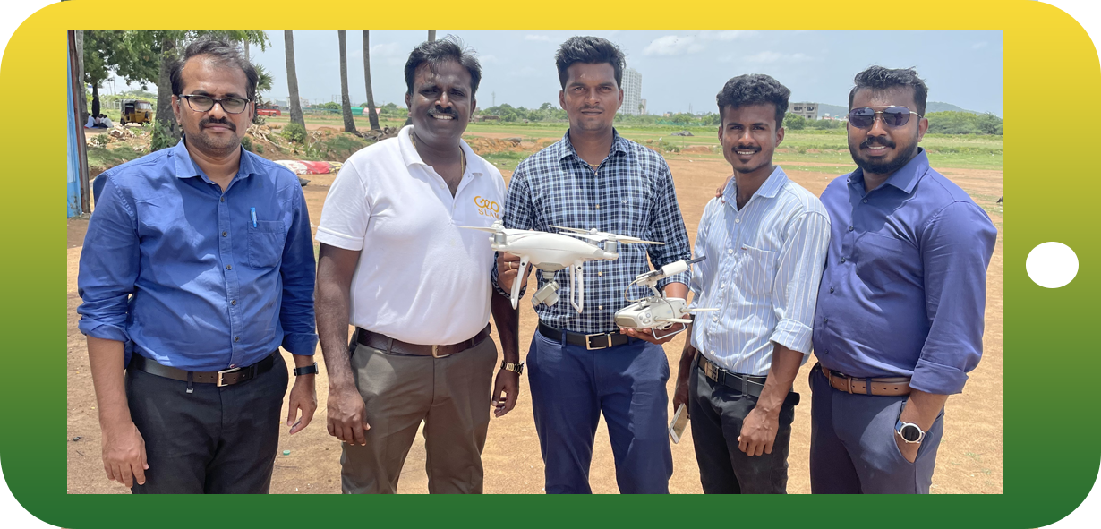
Practical experience in the field is a crucial aspect of land survey training. Trainees learn how to use surveying.

Charting careers in surveying excellence, delivering professional surveying services, and supplying quality survey instruments and accessories.
Practical learning, field experience and foundational knowledge for surveying professionals.
Practical experience in the field is a crucial aspect of land survey training. Trainees learn how to use surveying.
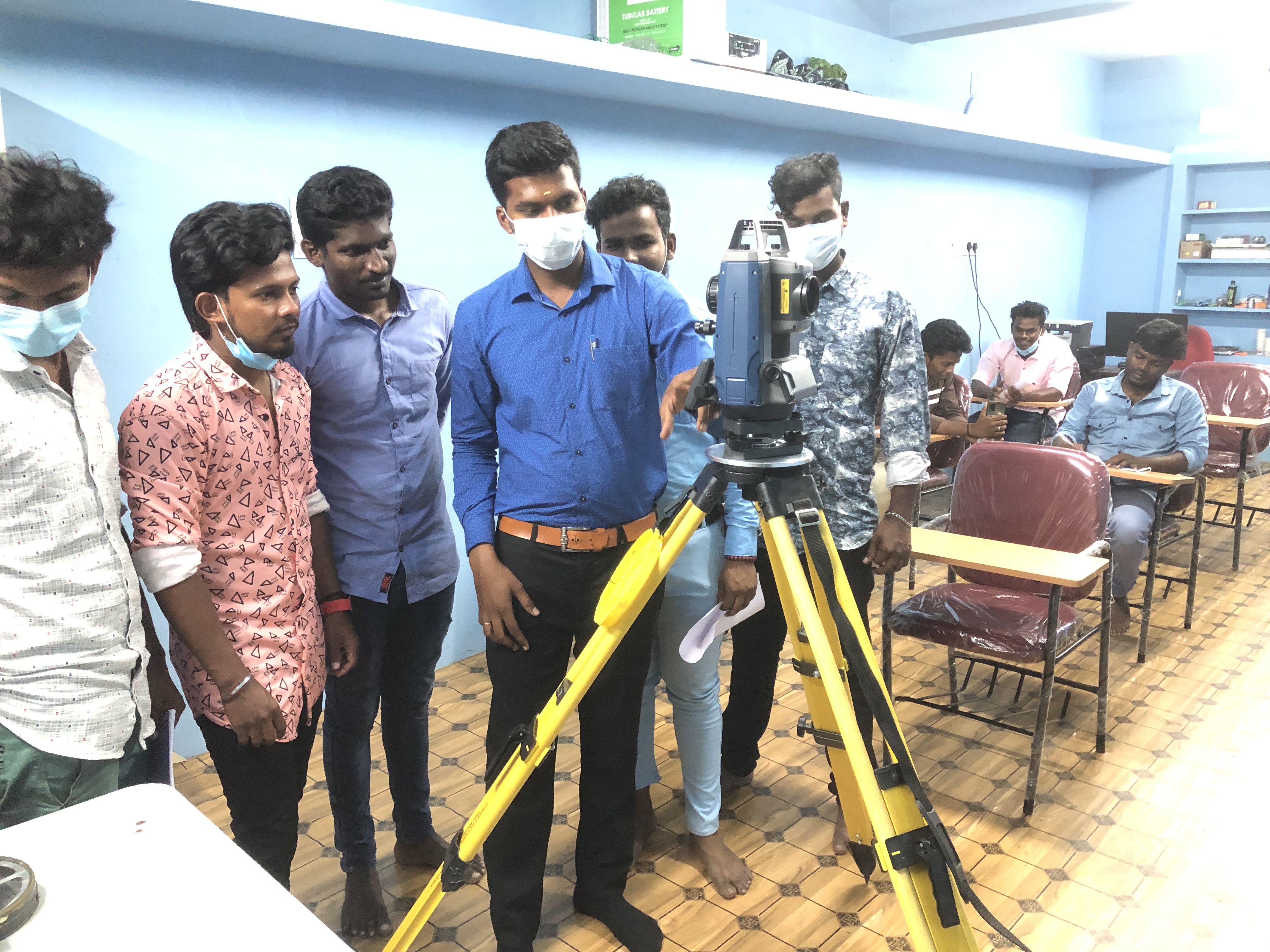
Land surveyors must have a strong understanding of the legal and regulatory aspects of their work.
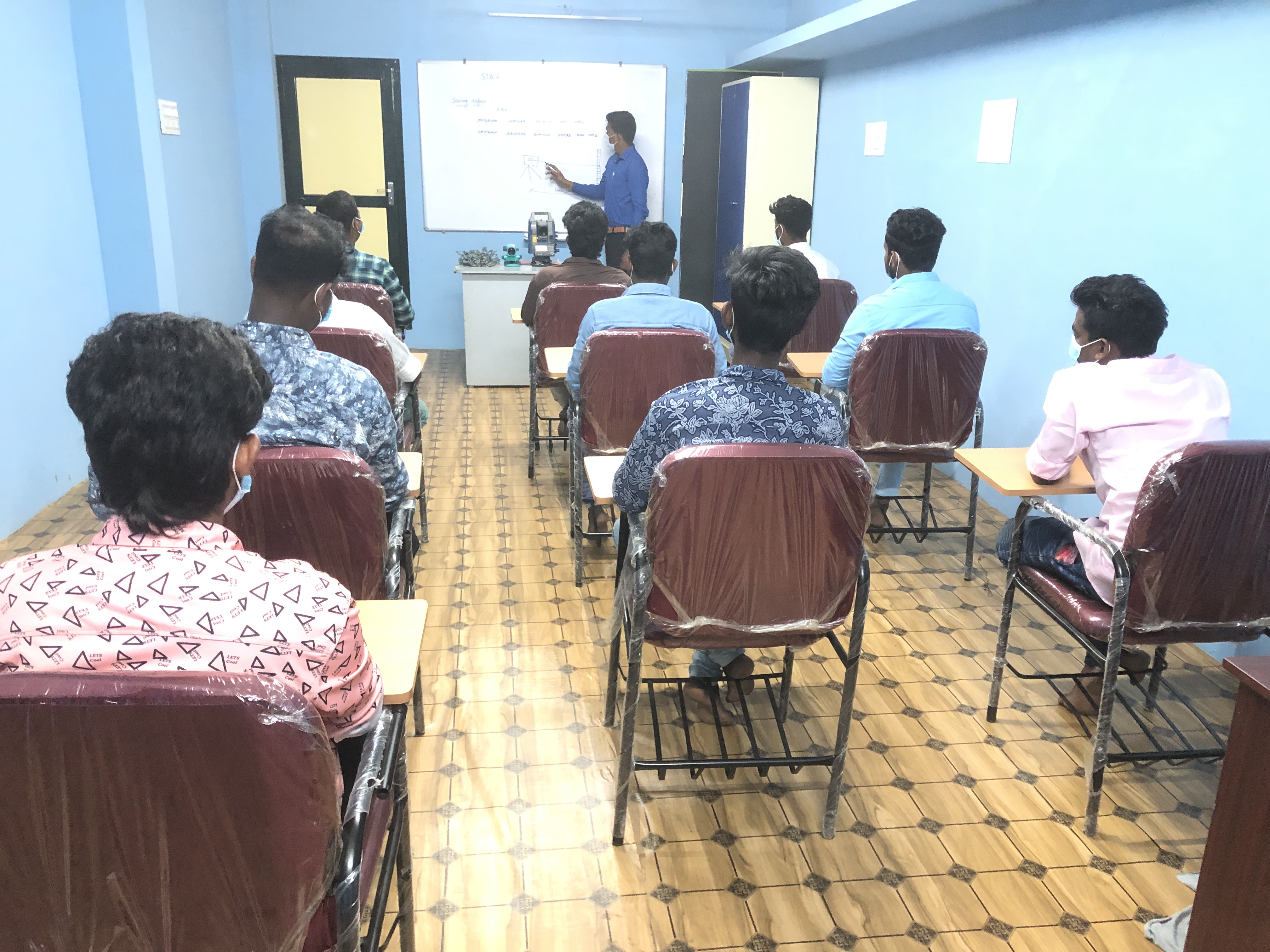
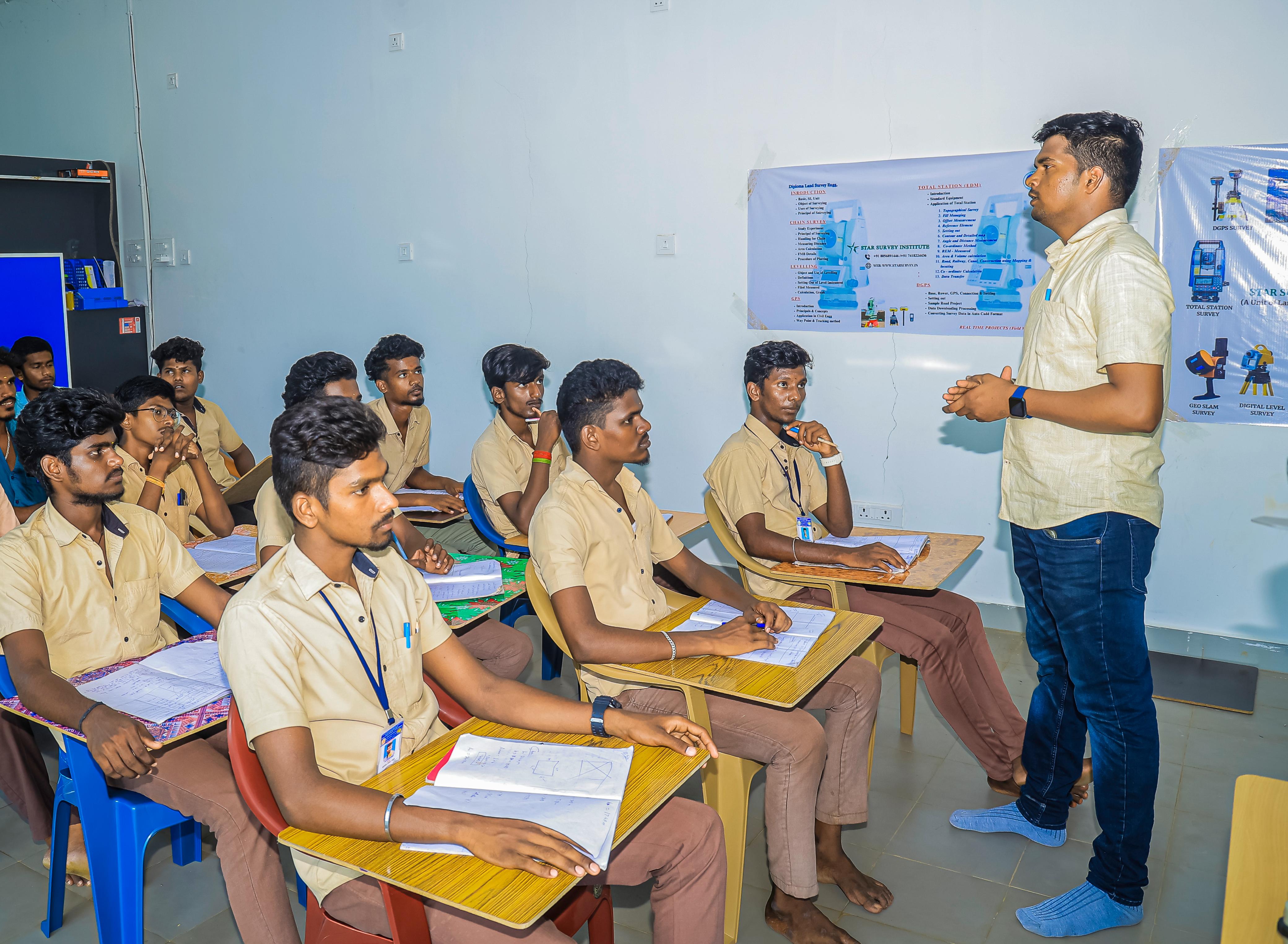
Land survey training typically begins with a strong foundation in surveying theory and principles.
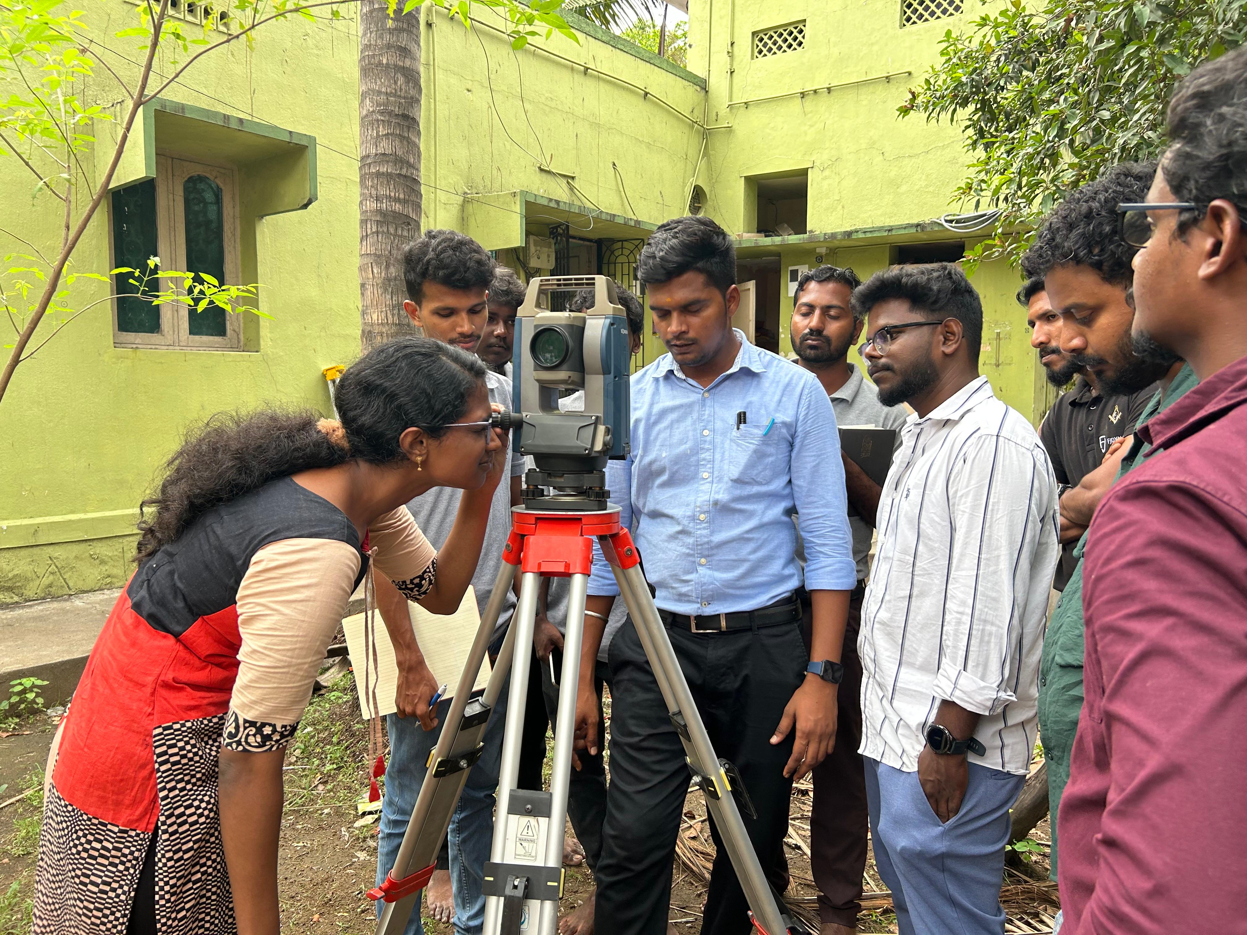
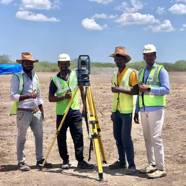
STAR Survey has well qualified civil engineers who have esteemed experience in handling civil related works. We have associates qualified from Institution of Valuers. Our civil engineering division also has engineers qualified as Chartered Engineer from the Institution of Engineers and Engineering Council of India. We provide the following services in utmost confidence.
STAR Survey offers the sophisticated service of GPR survey and also underground feature detection from the hyperbolas. GPR survey involves, focusing electromagnetic pulses (radar signals) of short duration into the ground using a specialized antenna.
GIS deals with the information about the earth and its features. The spatial and non-spatial data of the Earth’s surface are managed precisely with the GIS technology. STAR Survey has a dedicated GIS team who can handle all kinds of GIS projects with ease.
Civil-based traffic services are a critical component of modern transportation systems that help manage and regulate traffic flow in urban and suburban areas. These services aim to improve road safety, reduce congestion, and enhance the overall efficiency of transportation networks.
Surveying plays the major role in every Geomatics related projects. Surveying being the sole of the project, it is extremely important right from the planning to development stage of the project.
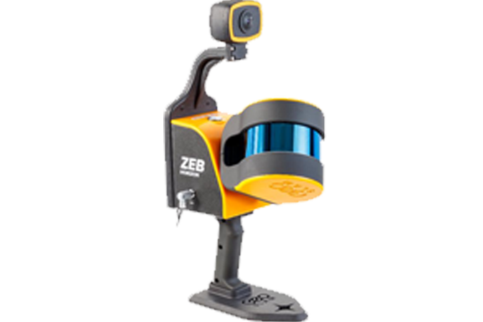
LiDAR survey is a technology that uses laser pulse to hit the target and estimates the distance by the time of the returning pulse. We have a specialized LiDAR team who can handle data acquisition and also LiDAR data processing.
Photogrammetry deals with acquiring imageries of the Earth’s surface and carrying out analysis with the data. Our team expertise in feature extraction, 3D modelling in the required LoD (Level of Detail) and reality capturing.


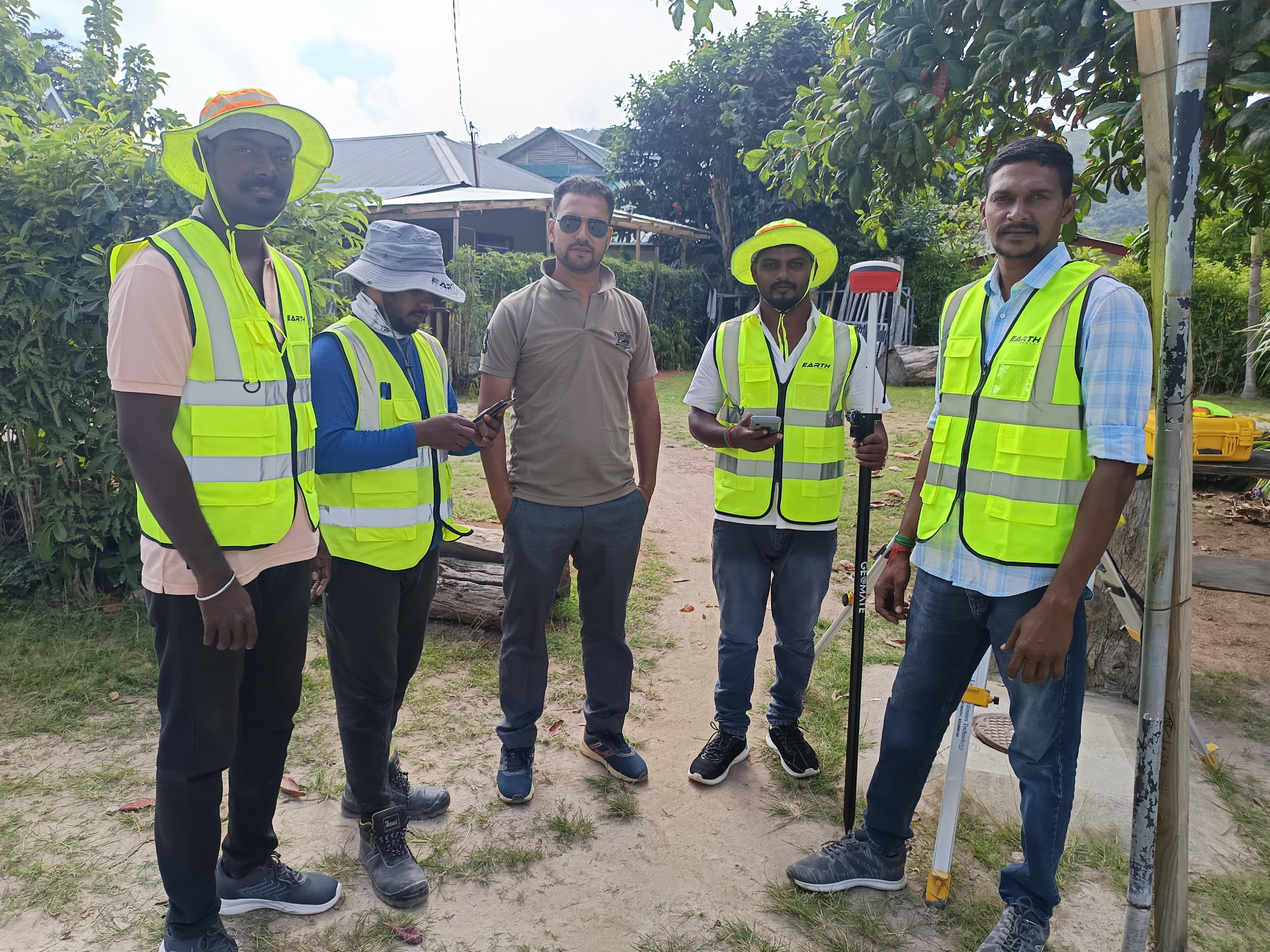
A visual collection of project and field work.
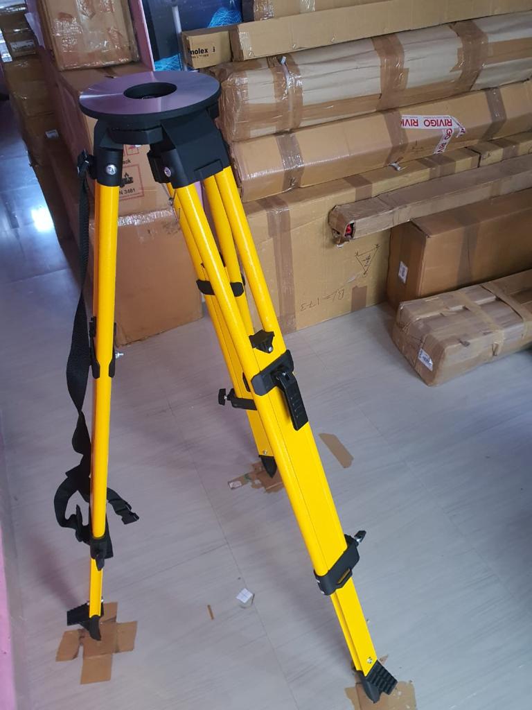
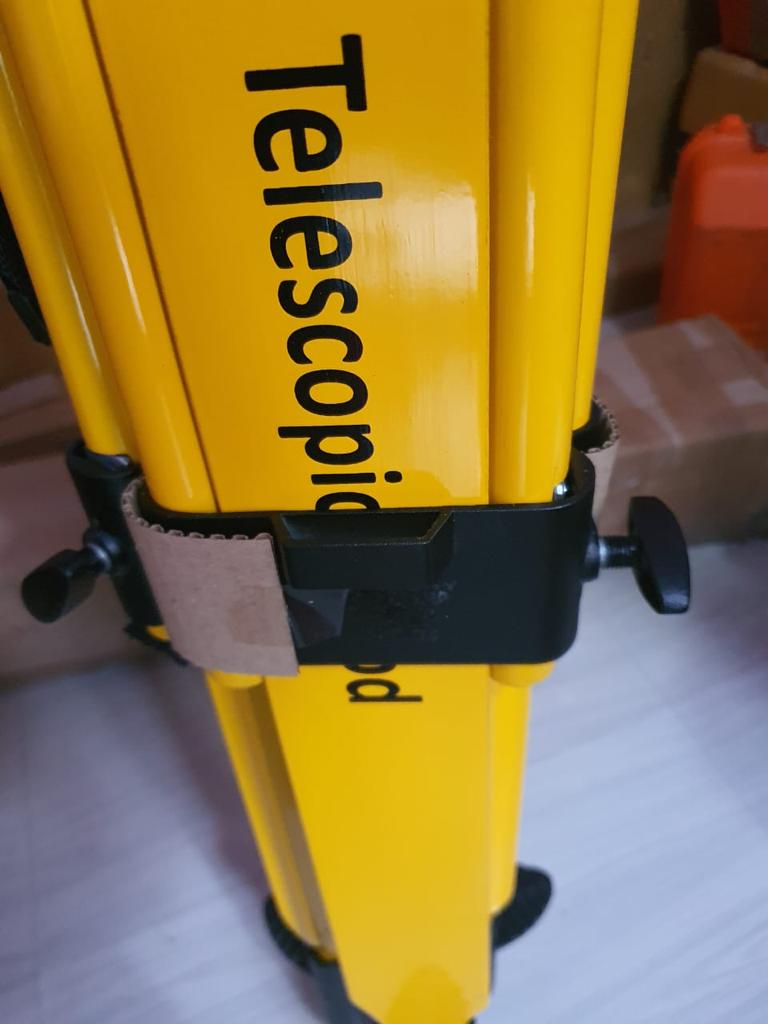
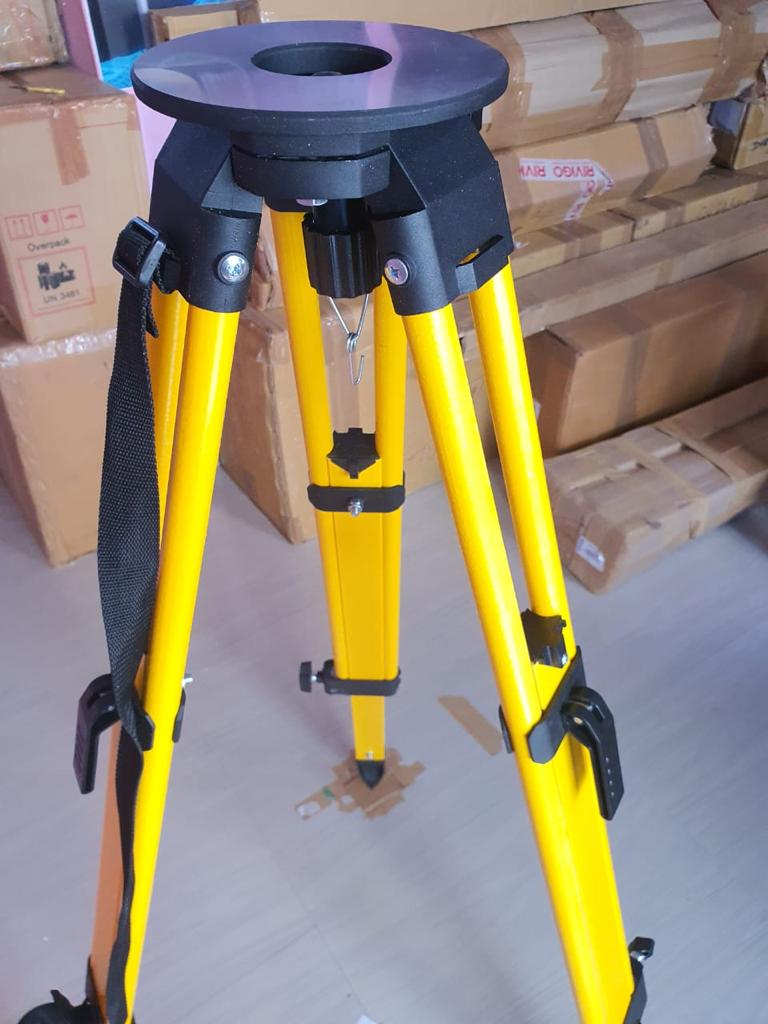
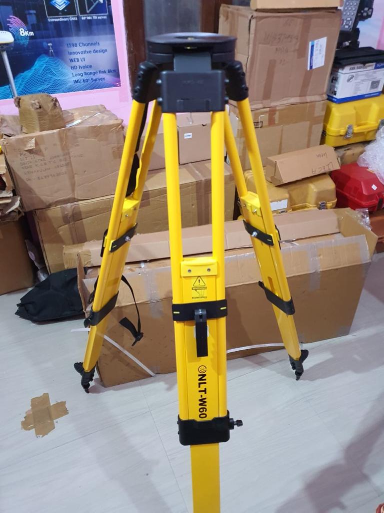
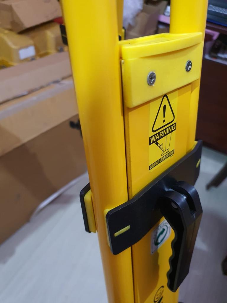
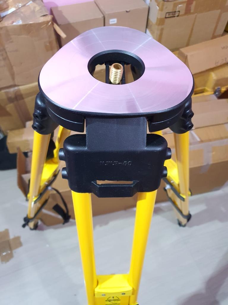
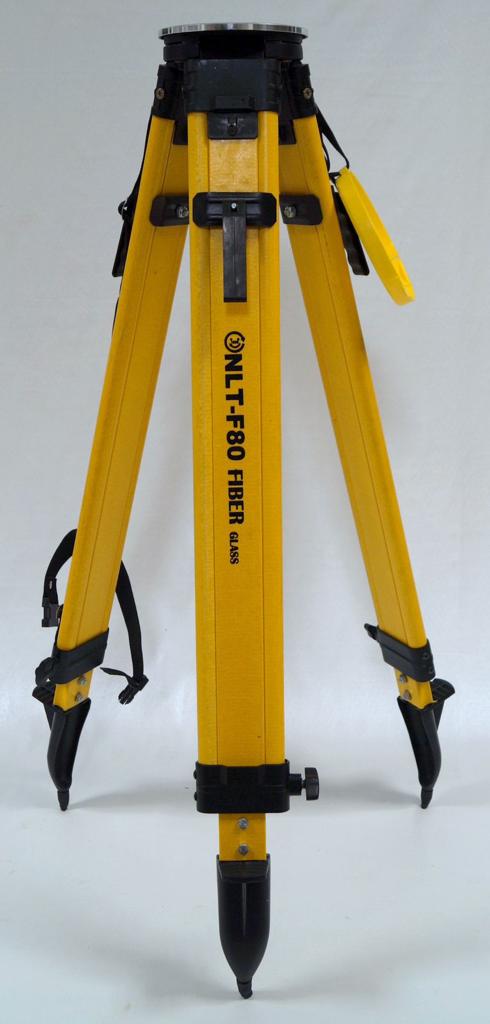

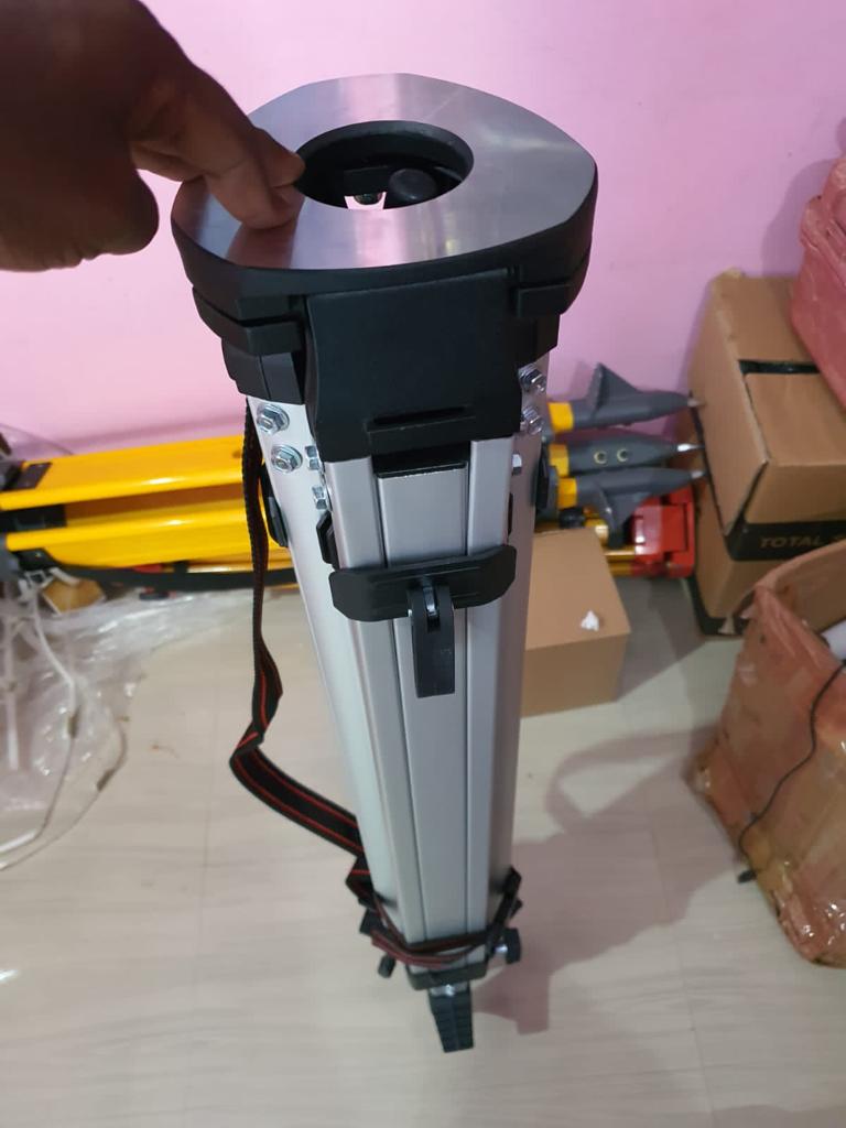
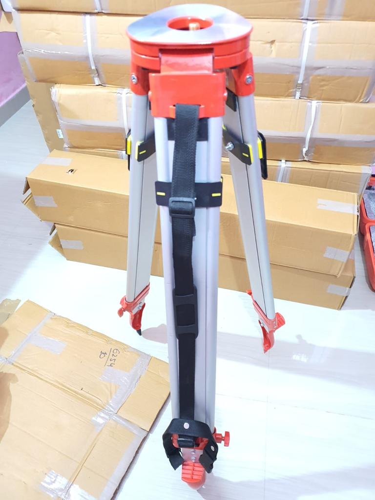
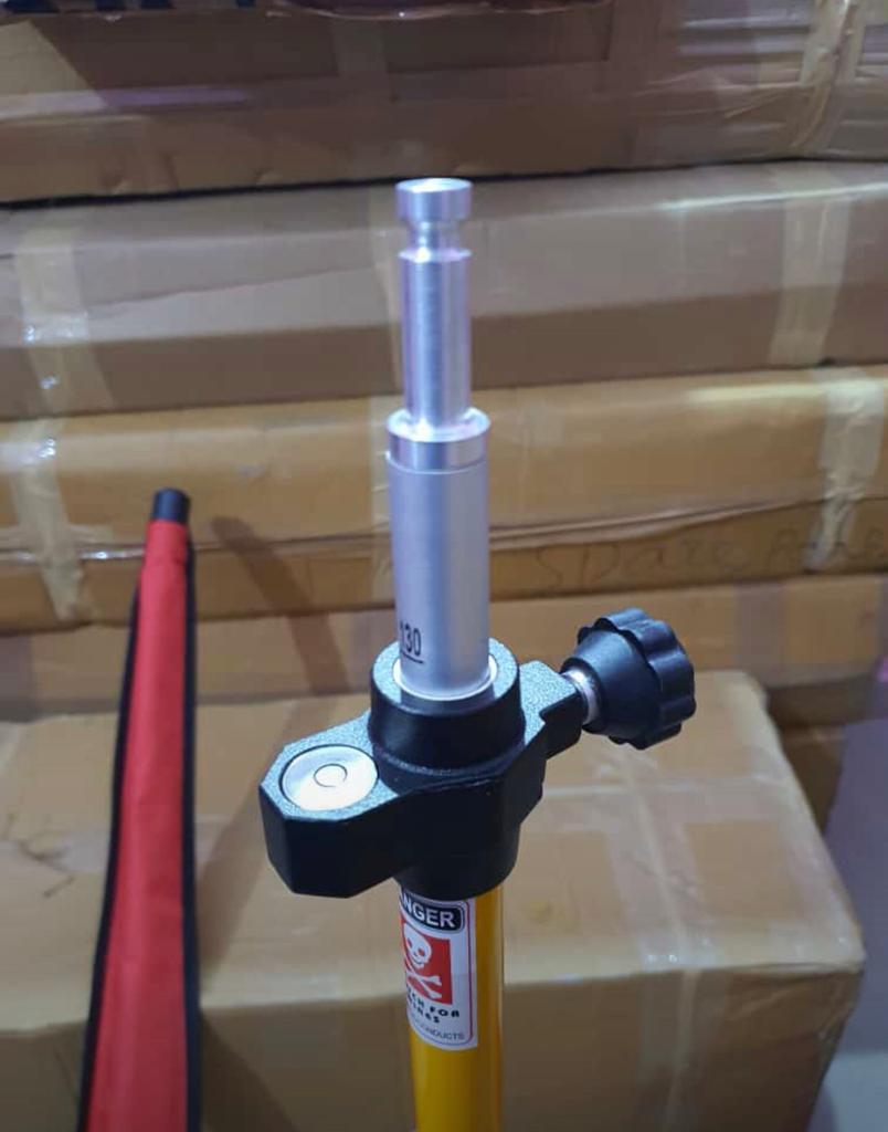
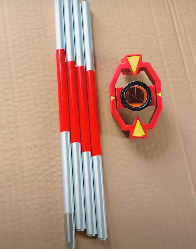
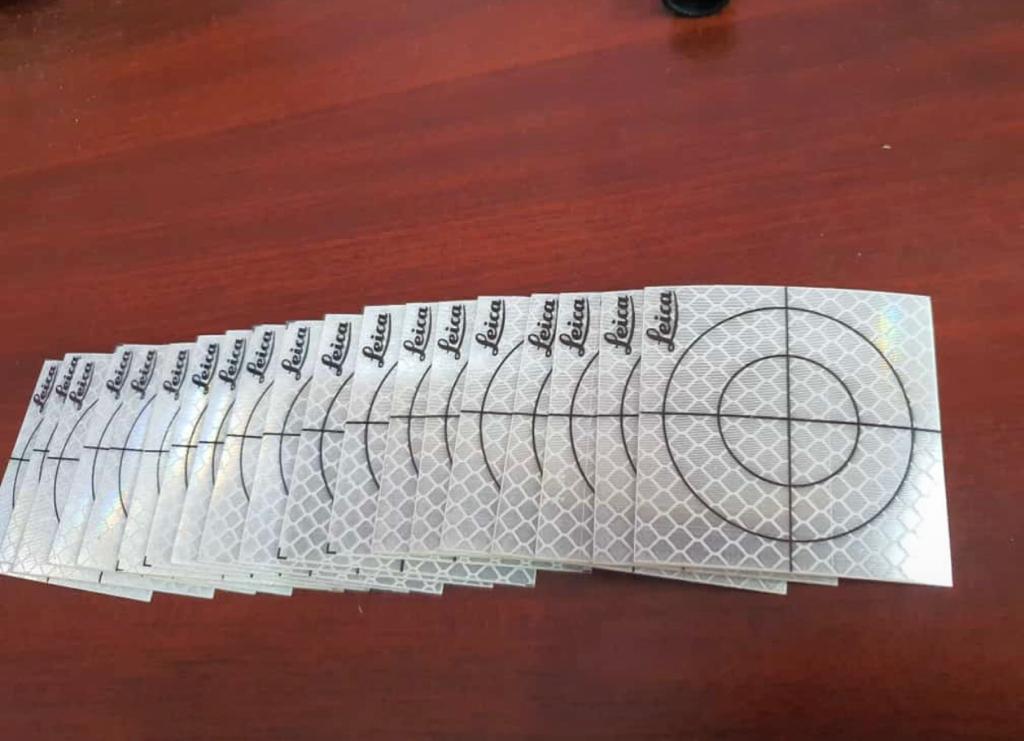
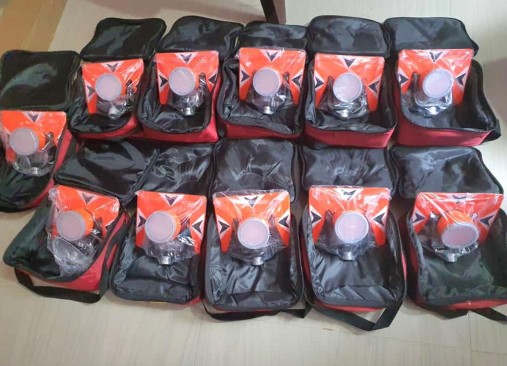
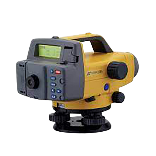
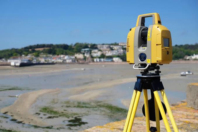
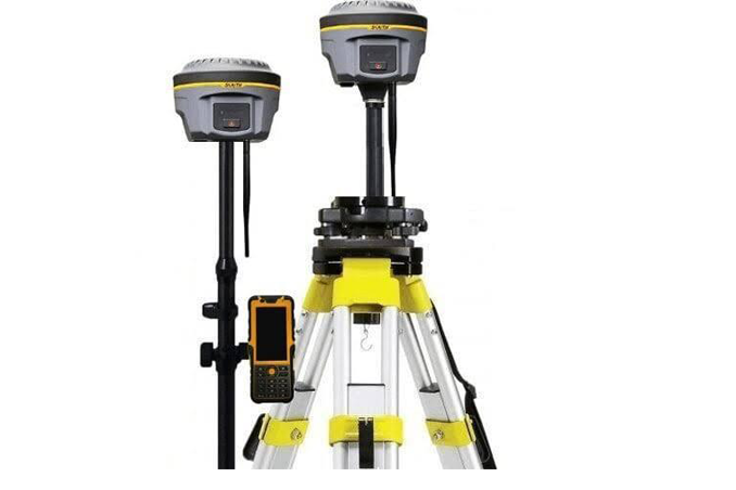
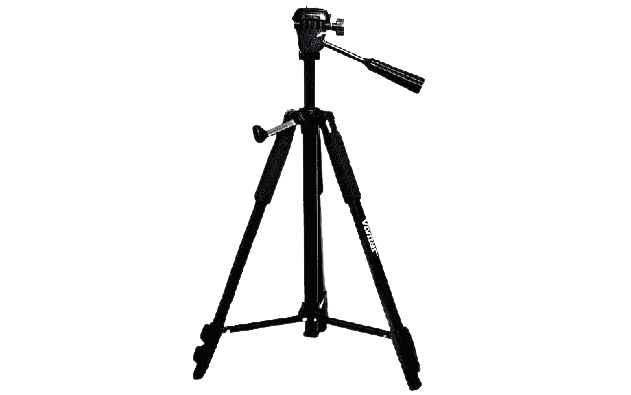
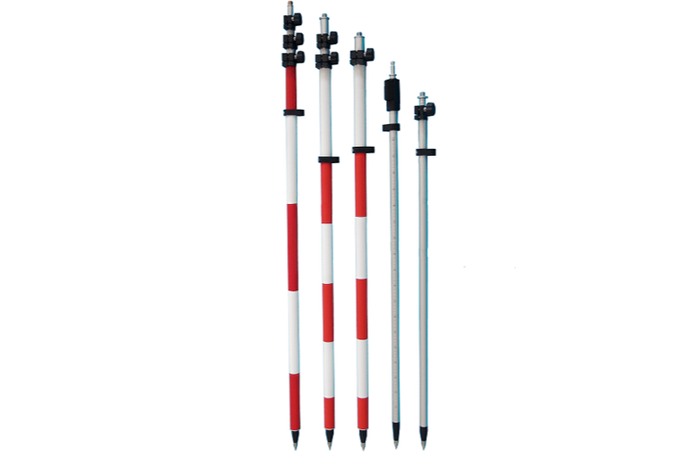
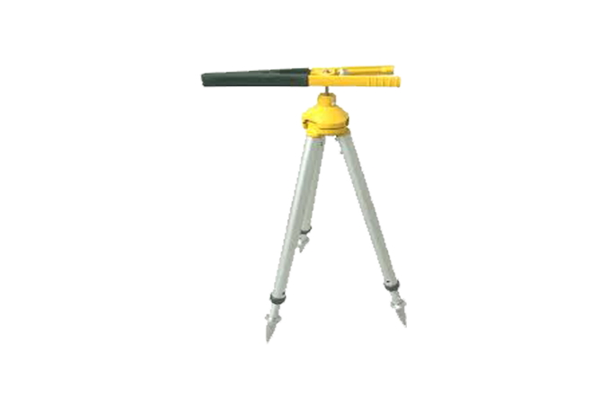
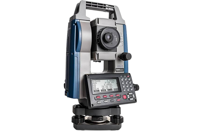
Survey instruments and accessories for professional field work.


Connect with STAR SURVEY INSTITUTE for training, surveying services, sales, service and calibration.