ADVANCED SURVEY TRAINING
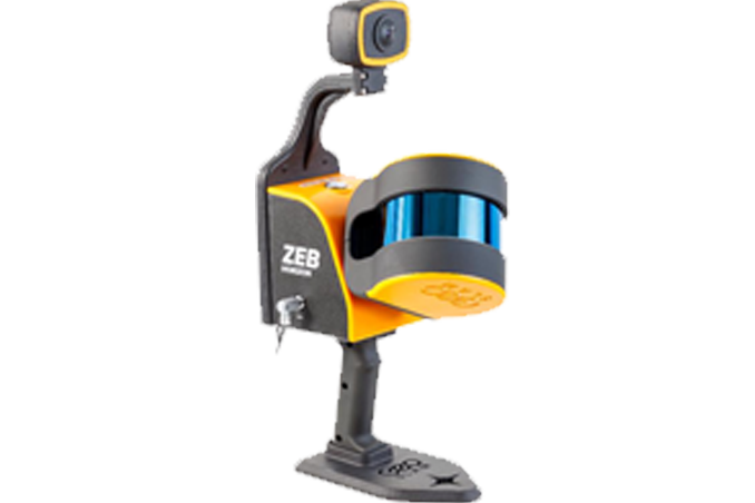
Mobile Lidar Survey
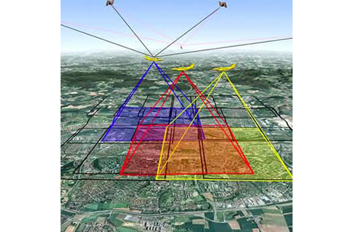
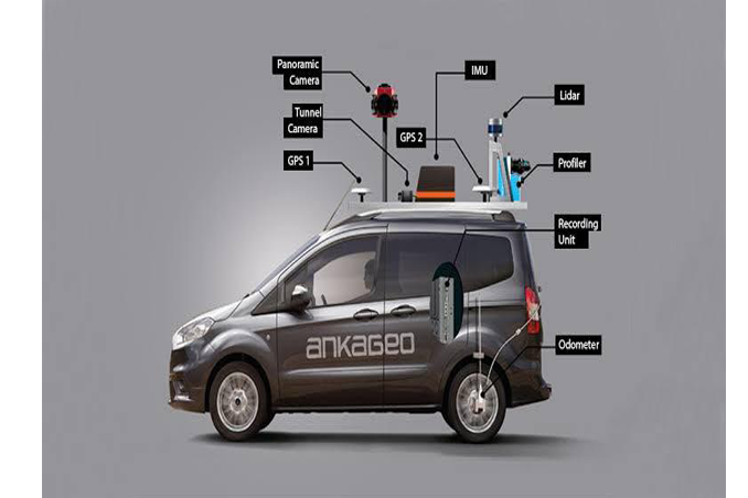
mobile lidar survey:"Unlocking Precision: Our Mobile LiDAR Survey Delivers. High-definition 3D mapping on-the-go, capturing intricate topography with unparalleled accuracy. Revolutionizing urban planning, infrastructure development, and environmental monitoring. Seamlessly adaptable to diverse terrains, providing comprehensive insights for smarter decisions. Elevate your project with our cutting-edge mobile LiDAR technology."/
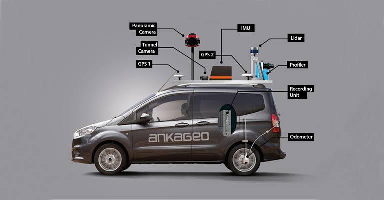
MOBILE MAPPING • PRECISION • 3D